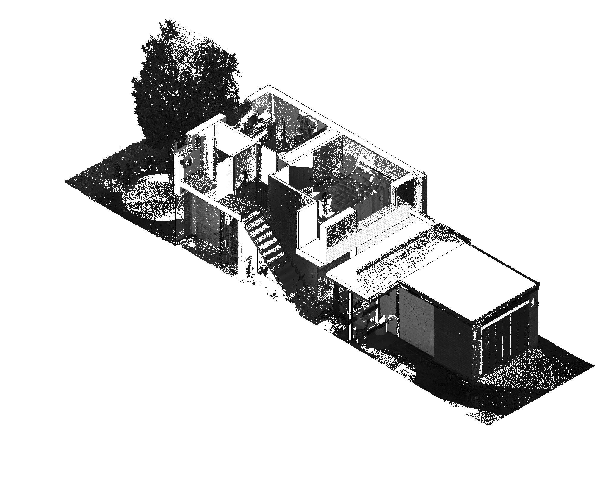
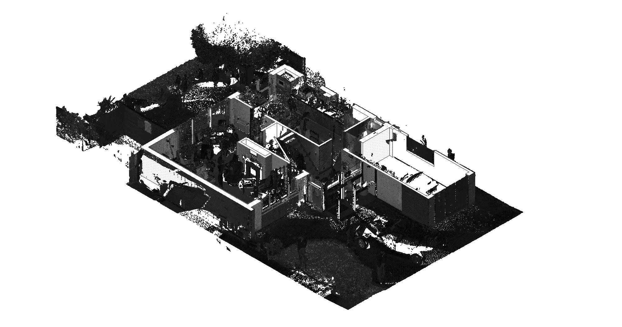
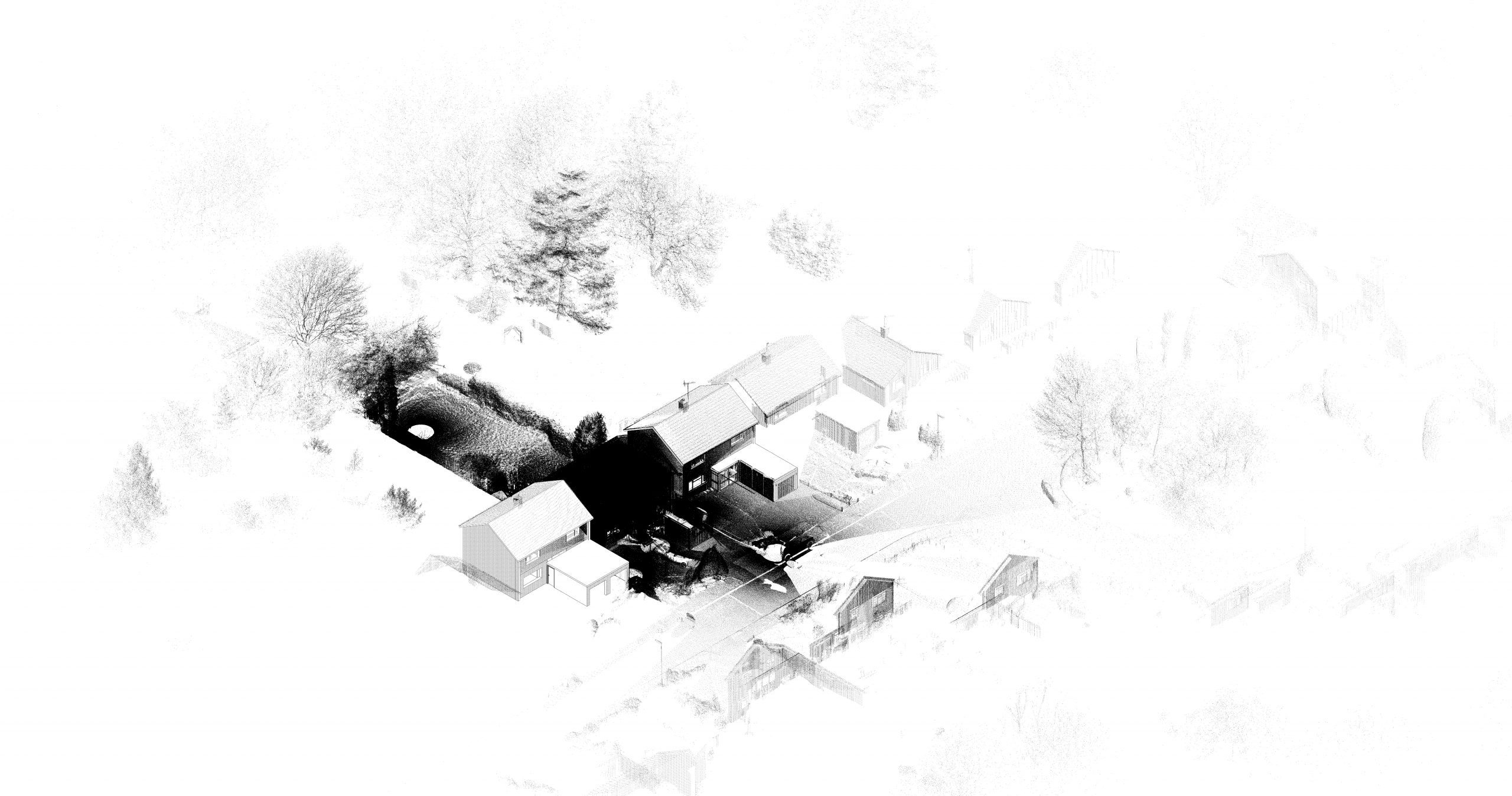
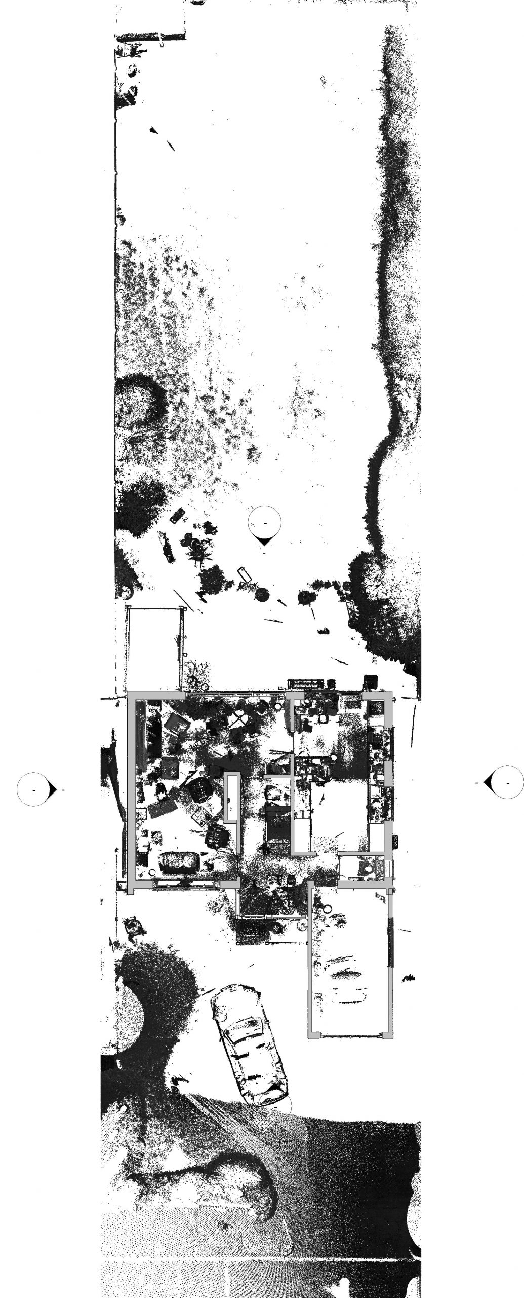
Technology Tools:
- 3D LIDAR scanner – site survey
- Autodesk recap – Point cloud
- Revit – (3D Cad modelling)
- Autodesk Autocad (2D cad)
Benefits of laser scanning:
- Density of data (surroundings)
- Dimensional accuracy in the range of 2mm
- Can be linked to Photography
- Allows for remote design and accurate additions to existing structures with off site construction, pre-fabrication methods
Explanation of LIDAR:
LiDAR (Light Detection and Ranging) survey Lidar is a method for determining distance by targeting an object with a laser and measuring the time for the reflected light to return to the receiver.


Prev
Next